


Ordnance Survey is inviting emergency service organisations around Great Britain to input local and colloquial nicknames to a new database called the Vernacular Names Tool, as an aid to getting responders to the right location even if accurate coordinates aren't immediately available.
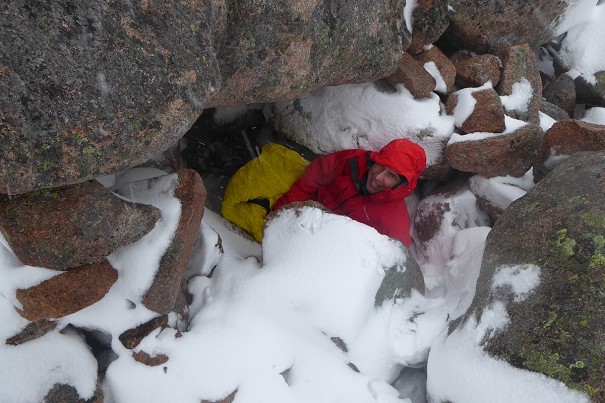
From Spaced Out Rockers to Screaming Geo, crag names familiar to climbers may mean nothing to call handlers, ambulance services or the Coastguard, so the time saving potential of the system in an emergency is obvious.

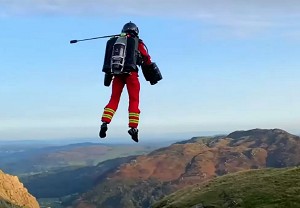
© Dan Bailey
"The Vernacular Tool is an incredibly useful resource for our Maritime Rescue Coordination Centres to have access to" said Chief Coastguard Peter Mizen.
"It has allowed local knowledge to be shared across our operational network and there are examples where its use has improved the tasking of critical rescue assets. We are very proud to have played a significant role in its development and we are pleased to see it being made available to colleagues in other emergency services today."
The database, hosted in the OS National Geographic Database, is a replacement for FINTAN, a mapping tool created more than ten years ago in response to a request from HM Coastguard. This was designed to allow users to upload any local name, alternative name or nickname for a coastal feature alongside the accurate location or existing geographic name in the mapping database. These include cliffs, caves, sandbanks, coastal car parks and buildings. This ensured that HM Coastguard responders could get to emergencies – however their location was described – with greater confidence and speed. Instead of only having a rough idea of location and needing to search the map to confirm the right place, control room staff could simply type in a location nickname and be given a precise location.
Now most of the contents of FINTAN – including nicknames such as Jabba the Hut, Stink Cove and Harry Potter Bridge – have been uploaded into the Vernacular Names Tool alongside input from new emergency service users across the country, bringing the current volume of names to over nine and a half thousand. It is hoped that highlighting the tool will encourage more services to participate.

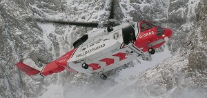
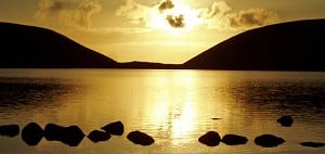
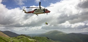
© Hot Aches Productions
The information from the tool, along with other data on names, places and objects, will be contributed to the recently launched OS Emergency Services Gazetteer, which the OS say is particularly effective in identifying locations that have no official address, such as named cliffs and named waterfalls.
Within the OS ESG, users can search geographical names across the whole nation, including names of hills and valleys. Users can also search new layers of information on road junctions, including names and numbers of road intersections. In addition, every feature within the gazetteer will have a Unique Property Reference Number (UPRN) to improve data sharing and reporting.
The UPRN serves as a unique identifier for a location, applying a 'common standard' for addressable buildings and objects, which then makes it possible to collate, share, and connect data from various sources.

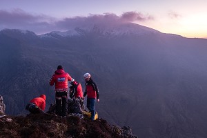
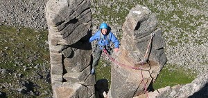
© Dan Bailey
"The most important question when someone calls 999 in a coastal emergency is: where? Understanding local geography can make a lifesaving difference to getting the right help to the right location, fast" said Virginia McVea, Chief Executive of the Maritime and Coastguard Agency, which worked with OS to develop the Gazetteer.
"Action might involve sending an HM Coastguard helicopter; Coastguard Rescue Teams trained in cliff, mud, or water incidents; or a lifeboat. When a caller isn't sure where they are, knowing the lie of the land is vital for our Rescue Coordination Centres to pinpoint where and how to respond."


Comments
That could be really useful. 999 call takers can be anywhere in the country and so won't necessarily know the local geography and place names when someone calls, and ambulance crews (for example) might be from outside the area and not know local place nicknames, so just be heading to wherever their mapping plots to if they're allocated the job.
Nothing has come out to ambulance crews in my area asking for local input, so I'll forward the info on to see if it can be put in the monthly newsletter or something; I can already think of a couple of obvious spots I'll suggest.
Maybe they could get emergency services to be able to use OSGB coordinates first....
Geoguesser.. where’s the photo?
Is this database available to the public as I am sure some suggestions could be made if so, such as outcrop names , i.e. baggy point has long rock, the promontory, scratching zawn etc
Huh?